Concepts#
Database model#
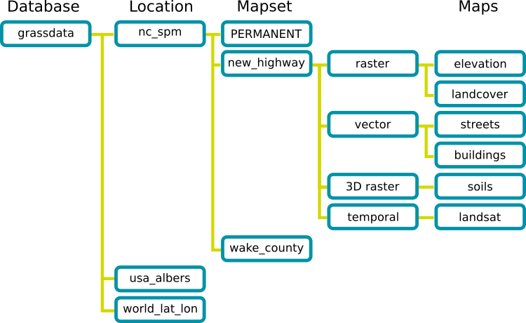
GRASS GIS has a very special database model which is the main difference to other GIS software.

Database#
A normal directory which contains the data you process using GRASS GIS.
Location#
A location is a directory with data related to a certain geographic location or a certain project.
A location is defined by its coordinate reference system and geographical boundaries.
All data within one location must have the same coordinate reference system.
Mapset#
A location contains mapsets.
Each mapset contains data related to a specific task or user.
A user can only work in one mapset at a time.
Every location contains a PERMANENT mapset.
Data in other mapsets are not accessible, except for the PERMANENT mapset which is accessible from all mapsets.
Important
Never edit files within a mapset outside of GRASS GIS to avoid corrupting the data!
However, you can share a location folder with someone else, as long as you do not edit its contents.

Region#
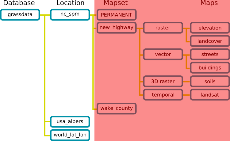
The region (marked in red) defines the geographic extent within which data is processed. The region is defined by
the geographical projection
the geographical extent
the spatial resolution of cells (only relevant for raster data)
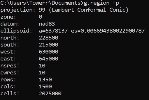
The region can be printed and changed using the command g.region

Resources#
GRASS GIS documentation: https://grass.osgeo.org/grass83/manuals/grass_database.html
