How to use GRASS GIS#
GRASS GIS offers all kinds of GIS tools and functions similar to QGIS and ArcGIS. It was initially designed to be only used from the command line, so it is very suitable for scripting more complex GIS analyses than using only GDAL would allow.
Main webpage: https://grass.osgeo.org/
Documentation/Manuals: https://grass.osgeo.org/grass83/manuals/index.html
Tutorials: https://grass.osgeo.org/learn/tutorials/
Tip
Take a look at the Video Tutorials on YouTube for instructions how to get started and demonstrations what GRASS GIS can do.
GRASS GIS can be used in two different ways:
1. Graphical User Interface (GUI)
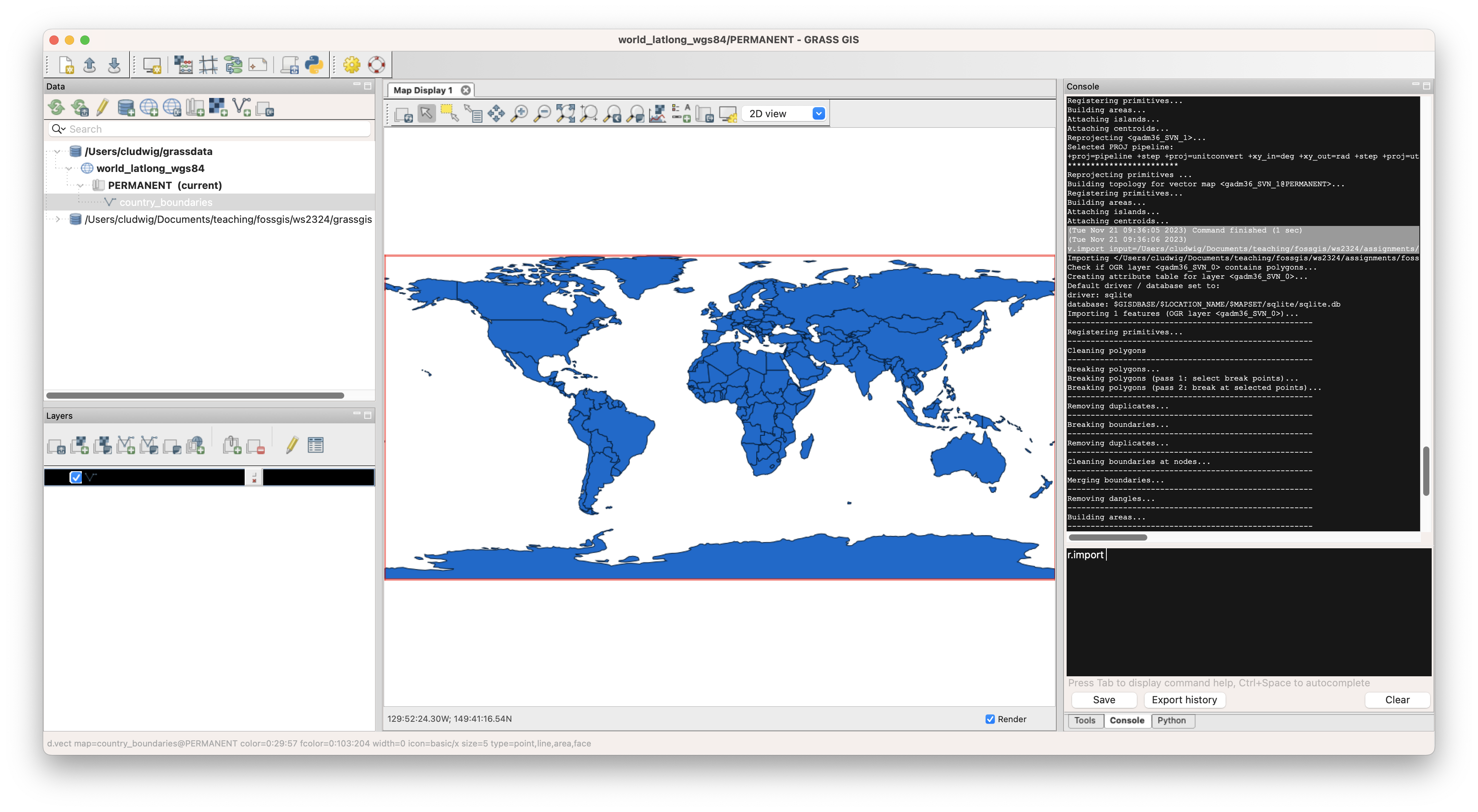
GRASS GIS provides a graphical user interface which is quite similar to QGIS.

2. Command line
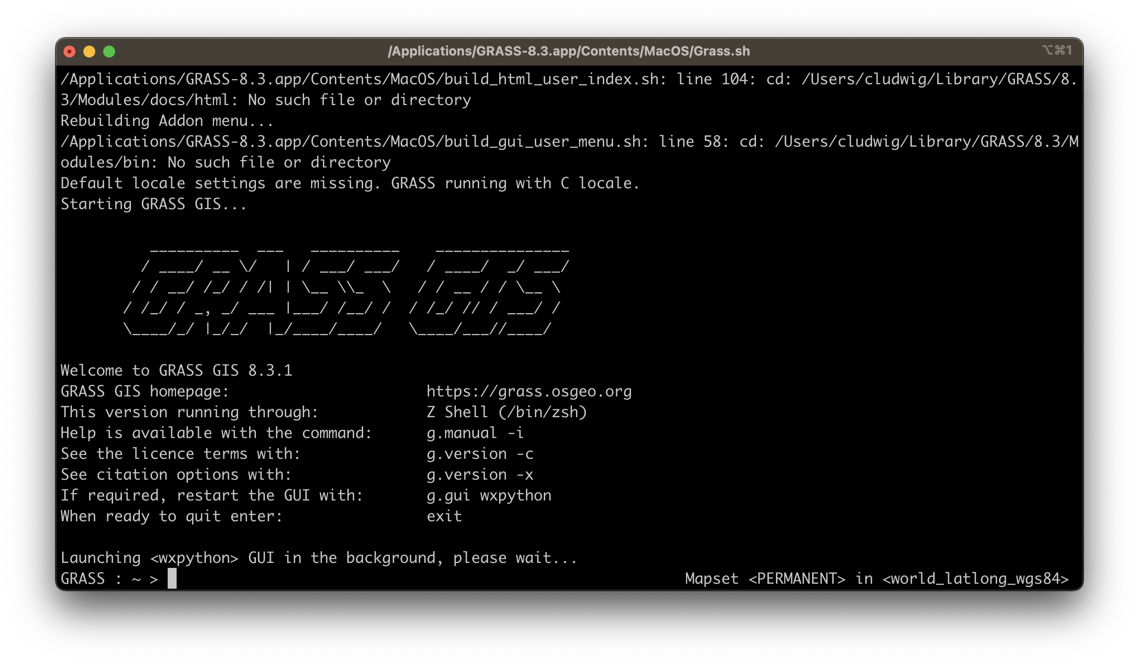
You can also run commands and perform analyses using the command line.

If you use the GUI to set the parameters you can also copy the respective command using the copy button and paste it into you script.
Documentation
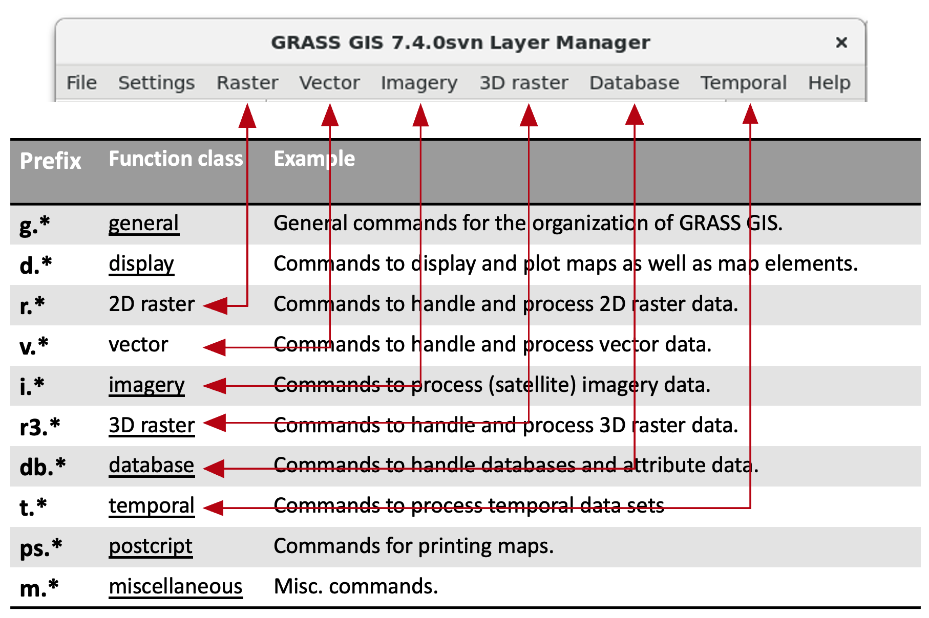
Commands in GRASS GIS are separated into groups, e.g.

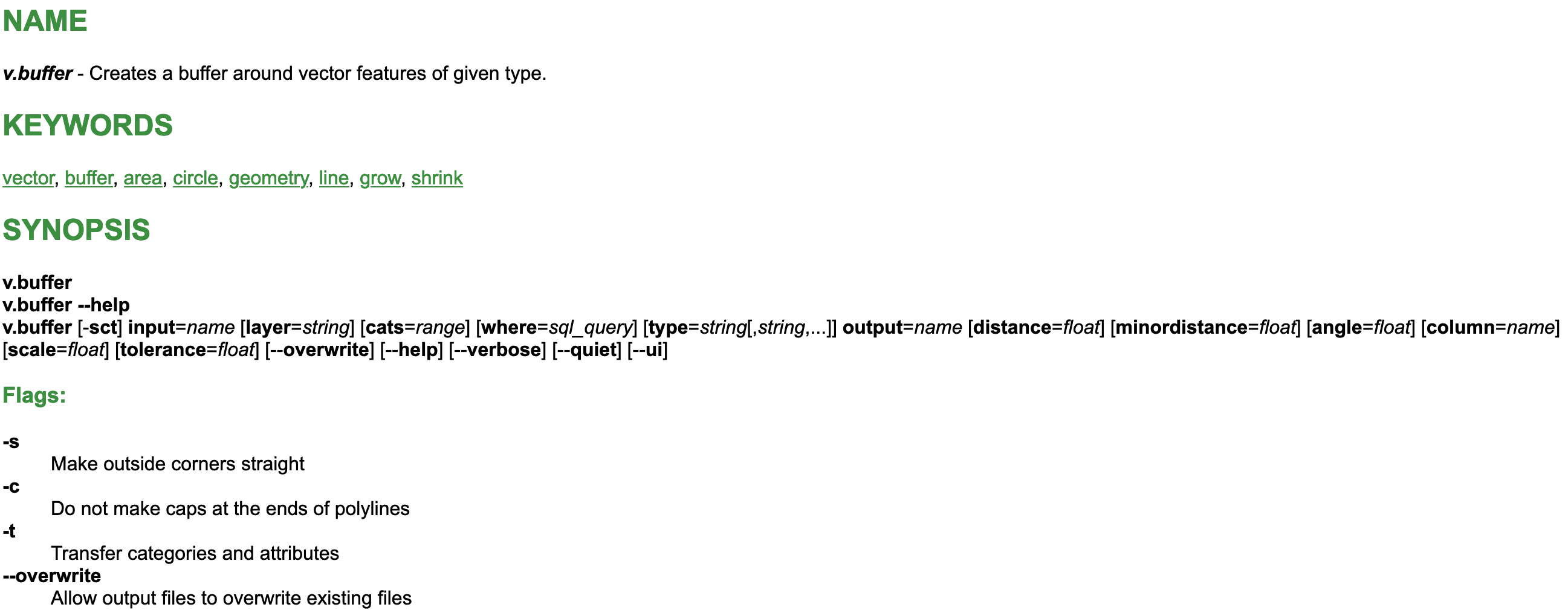
Each command is documented along with its parameters in the [GRASS GIS manual](https://grass.osgeo.org/grass83/manuals/index.html), e.g. the [buffer](https://grass.osgeo.org/grass83/manuals/v.buffer.html).

